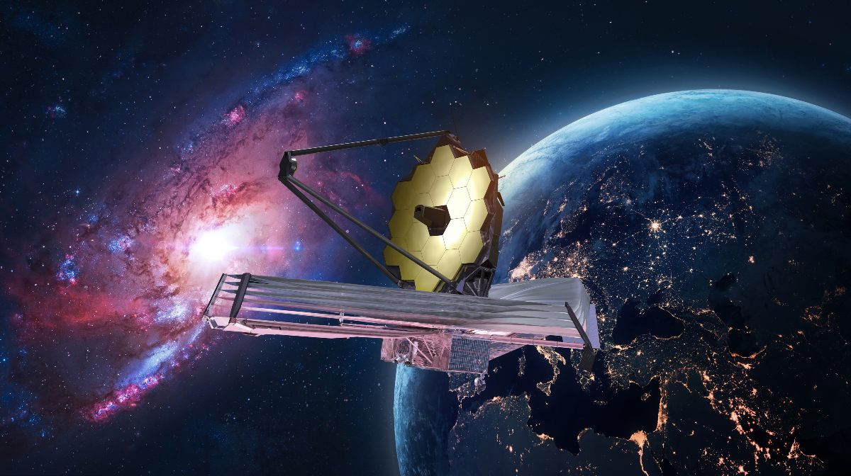
Increasingly, producers find themselves using satellites to work towards sustainable agriculture. The images taken from space make it possible to quantify the carbon stored in the soil. With this information you can validate what you are selling. CO₂, which is in our atmosphere, is in the eye of the storm for disposal.
The effort to reduce carbon on a significant scale has its sights set on the soil. This is because the top meter of the Earth’s first layer contains more than three times the amount of carbon in the atmosphere. This implies that good treatment of our soil can lead to better absorption of CO₂. This is good news for farmers, businesses and everyone desperate to offset carbon emissions. The problem is in the verification of the process if there was additional carbon absorption. Physical samples should be collected regularly throughout the field and sent to a laboratory for data processing.
Looking at the sky and satellites
More and more engineers who are passionate about family farms are working with startups. Many of these see that there was a time when “technologists” seem to have forgotten about agriculture as a whole. Currently, the ambition is to produce through an infrastructure that fully supports the carbon market in the soil. Several voices have expressed that “no technology solves a problem unless it does so at scale and in a cost-effective manner”. Increasingly, each field is being actively monitored for carbon removal and net emissions.
Although the technological focus is on the United States, it is gradually spreading to other parts of the continent where agriculture is the backbone of the economy. Brown University professor and Perennial startup chief scientist Jim Kellner explained that the company’s technology is based on multispectral satellite imagery. This method measures the light reflected from the Earth in narrow bands over a wide range of the electromagnetic spectrum.
With technological support
The information captured is invisible to the human eye and very essential to this subject. Kellner explained that the spectrum of the reflected light is being analyzed, thus allowing a precise identification of the carbon in the soil. Satellite images with a spatial resolution of only 10 meters are used here. By comparing the amount of light reflected at different wavelengths, Kellner says that “you can learn to identify materials, even without imaging.”
The satellite images are fed into a machine learning algorithm, which is added to environmental data about the field in question, its elevation and climate. All these data allow to produce a measurement of the carbon content in the soil under study. Currently, work is underway to train these algorithms in new countries and continents. In this way, it will be possible to add information on other types of land, such as pastures and rangelands, as well as crop fields.